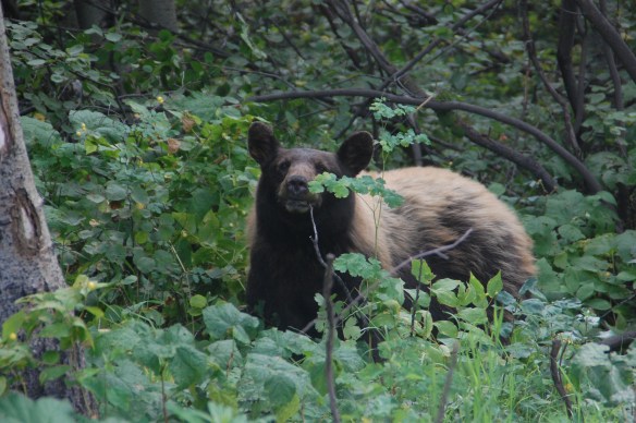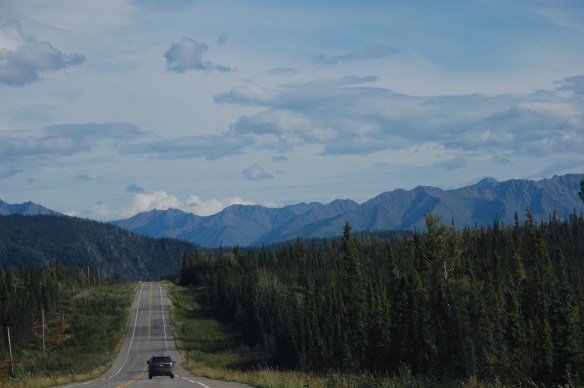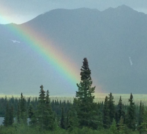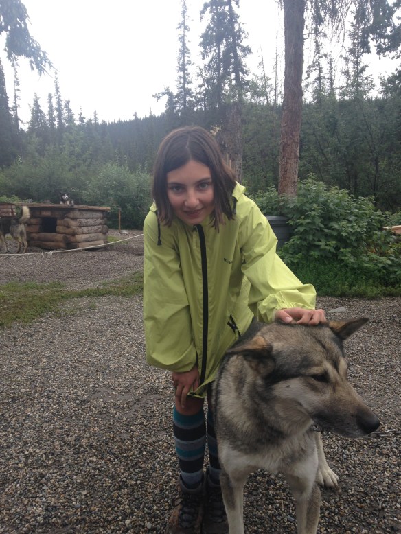
I try not to. But sometimes I just cannot help myself. Or someone else starts the conversation. Like in Cantwell (about 30 miles east of Denali National Park) where we camped next to a very cool collection of Scottish tourists. Mostly retired teachers and school administrators as well as a salesman and a builder, they made what could have been a buggy, tired night into a joyous folk festival. We called it, they played it plus they introduced us to a few mournful Scottish ballads. In between tunes they questioned how someone as unabashedly racist and ignorant could earn the Republican nomination. I asked if they had ever watched Fox news. And I reminded them that Europe also has their share of right wing nationalist nut jobs in or almost in power. They told me that as much as they enjoy traveling through America they would never do so during a Trump administration. That type of sentiment is something we (who love traveling through the red states) often struggle with. Especially when some of the nicest, most helpful people we meet are the same folk who perceive our current president as the devil. And by devil I mean a literal agent of hell.
We also talked quite a bit to others about health care. We have now visited almost every corner of Canada and have yet to meet a Canadian who envies our system. Most truly do not get it. A common question is “So if someone is sick and does not have insurance no one will help them?” This is even true in socially conservative Alberta (where a pick-up truck passed us by with a sticker that said “I support global warming”). Even when I mention the benefits of our system, such as not having to wait for “non-essential” medical procedures (so long as you have insurance) they scratch their heads at the thought of not being able to walk into a free clinic whenever they want. Everyone in Canada though does agree with me that their liquor is too expensive.
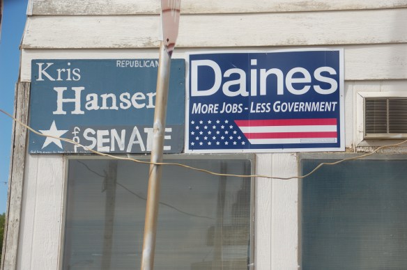
But mostly people talked about Trump. Both to us as well as on the radio, television, and in print. Even the small local paper in Dawson Creek gave a very thorough analysis of the race. And in Atlin, at the visitor center, a very worried and politically obsessed older woman originally from Ireland expressed her fear that a Trump presidency will likely lead to a nuclear holocaust. Other people, especially European tourists, do not understand why people dislike Hillary. If I mention that her husband had an affair, then lied about it to the American people (as well as possibly under oath) they smile that peculiar smile that says “ah you naïve Americans.” Trigger words like “Benghazi” or “email scandal” mean even less to them. My guess is that there is no Fox news in Europe.